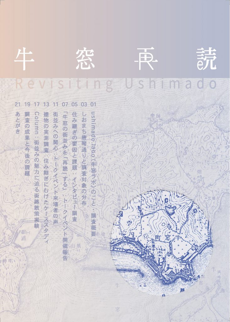
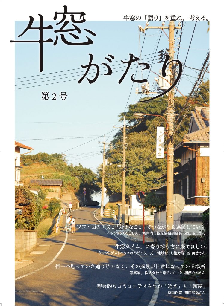
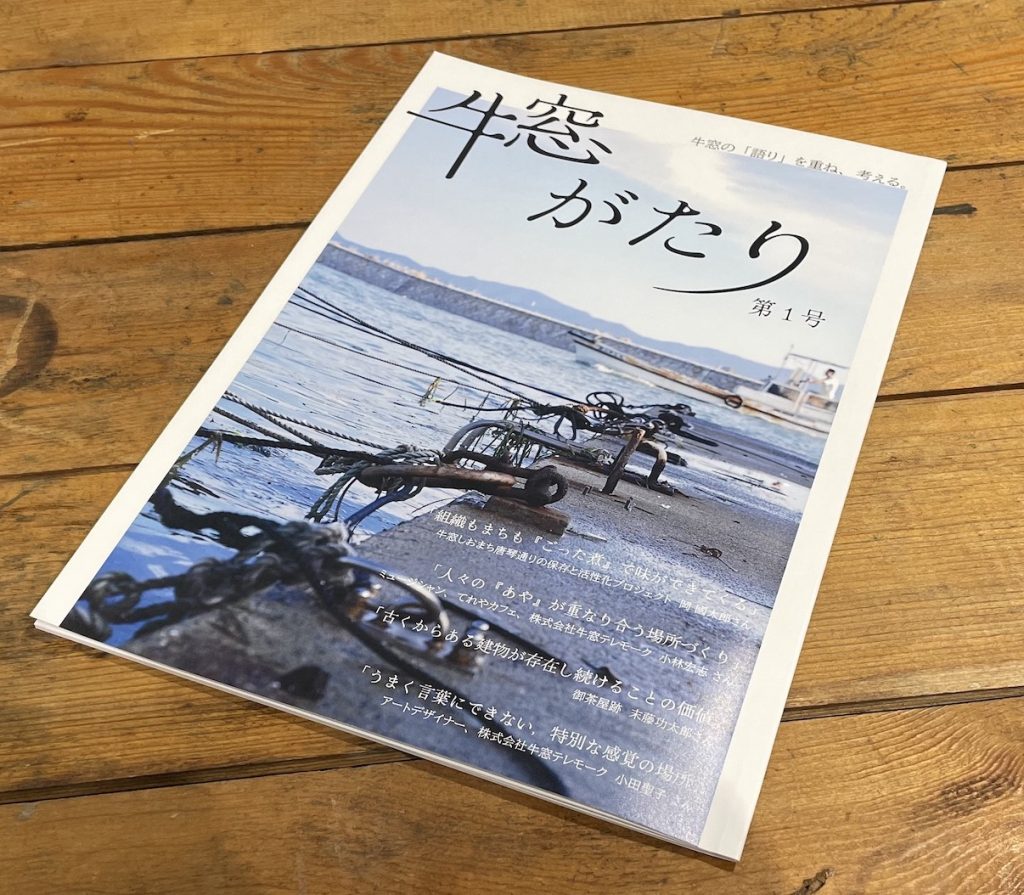
This is a collection of interviews aimed at gaining a deeper understanding of the port town of Ushimado, which once developed as a economic and culutural cvore on the Seto Inland Sea, through the people involved in the community of Ushimado. It aims to be a medium for dialogue about what I am and what our community is through the community.
This is a collection of interviews aimed at gaining a deeper understanding of the port town of Ushimado, which once developed as a economic and culutural cvore on the Seto Inland Sea, through the people involved in the community of Ushimado. It aims to be a medium for dialogue about what I am and what our community is through the community.
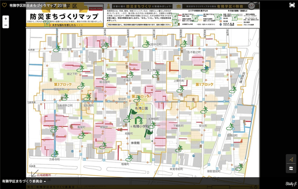
The area called “dense urban area” in urban planning retains the architecture and space from the modern age, and conveys the life culture of the city to the present day with the people living there. However, in recent years, dense urban areas are often regarded as targets for renewal due to their vulnerability to disasters. In Yurin school districts, Shimogyo-ku, Kyoto City, members of the “Machi-zukuri Committee”, which is composed mainly of residents, investigate the distribution of resources such as kyo-machiya, alleys, Jizo-bon and the location of evacuation facilities/equipment, and visualized them as community disaster mitigation map. The map is the first step to promote a community development that balances the “life culture” and “disaster safety” of the often conflicting dense urban areas. In addition to the paper version of the map, it can be viewed and edited on the network by linking with stlory (the online sharing platform for the original map), which is also used in community disaster mitigation training.
Sri Lanka is world-famous for Ceylon tea, the export amount of which was used to be the first of the world. However, the people who support the tea as labor are not well-known to the world. They are Tamil people, immigrants from South India, who are neither British people nor Sri Lankan people. The aim of this project is to revitalize a village, Bawlana village, where Tamil people have been living for 130 years, through support from architecture because they have been marginalized and poor after tea plantation here got closed about 30 years ago. We have regenerated a row house called “line house” in Bawlana. Although 1/3 of it used to be lost before the construction, it becomes a base of local tourism the attractive points of which are the history, the culture and the nature of Bawlana. Line houses in Bawlana consist of characteristic elements which are derived from 3 countries related to tea plantation. They are steel frames made in Britain 130 years ago, local granite and veranda space often seen in houses of Sri Lanka, and floor covered with cowpat closely connected with a ceremony of Hinduism from India. We planed the regeneration by two methods, namely, restoring parts of the original house and recomposing the characteristic elements so that the composition of it becomes seen more clearly. Line houses in the former tea plantation area are often regarded as “negative heritage” in Sri Lanka. However, if the history of Bawlana and Tamil’s life and culture are appraised by various viewpoints, it will be power of drawing the future of Bawlana. We believe that this regeneration will make a chance of it and this regenerated line house will be a place where a new history of Bawlana will be born.